You can apply geographic filters to your map to further analyze the data within specific areas
Filtering your Data within a Buffer
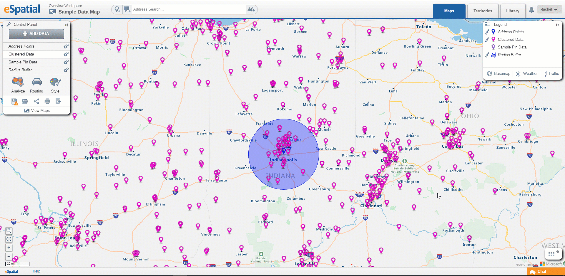
Users may want to only see the information within a certain distance from a point. To achieve this, users can filter their data from a buffer created. See Radius Buffer or Drive Time Buffer on how to create radius or drive time buffers.
- Select the radius/drivetime area and choose the filter option.
- Select the dataset you wish to filter by.
- Expand your table to view a list of points that fall within this radius area.
Filtering your Data within a Region
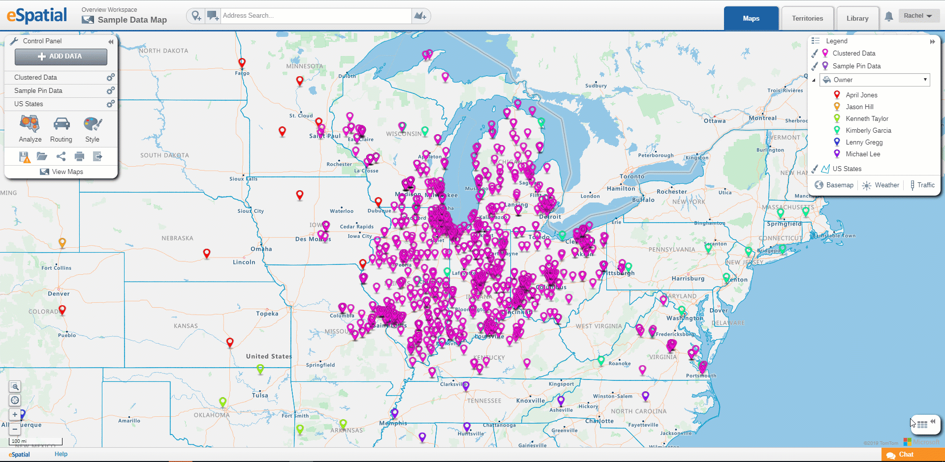
Users may only want to see data present in a specified region, users can then use their regional dataset to filter their data by a selected region such as States, counties zip codes, etc.
- Select state, county, or zip code area you wish to filter your data to and choose the filter option.
- Select the dataset you wish to filter by.
- Expand your table to view a list of points that fall within the selected area.
Exporting your Filtered Data:
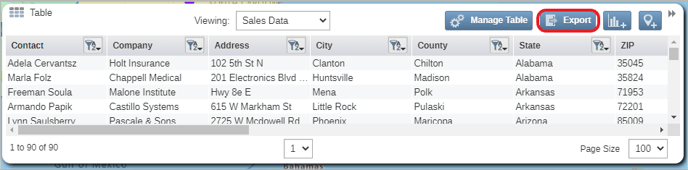
Once you have filtered down your data to a specific buffer or region, you can export this data as a CSV file by selecting the export button in your table.
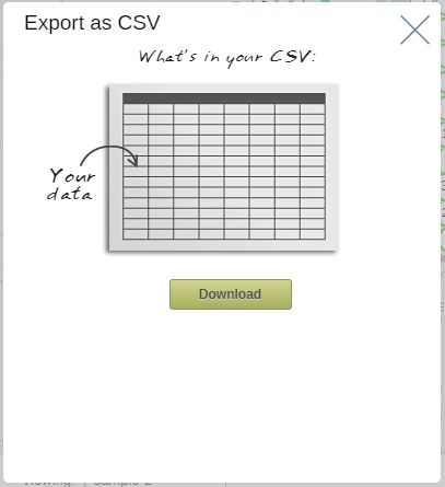
A download window will then appear, select the download button and navigate to the folder you wish to export your data to.