- Knowledge center
- Managing / Organizing your Maps (Library)
-
Getting Started
-
Video Resources
-
Data (Preparing/Adding/Editing)
-
Radius, Drivetime and Measurement Tool
-
Heat Mapping and Summary Analysis Tool
-
Territory Manager
-
Style
-
Data Table
-
Filtering Data
-
Routing
-
Saving, Exporting and Sharing Maps
-
Deleting
-
Managing / Organizing your Maps (Library)
-
Single Sign-On (SSO)
-
CRM & Data Integrations
-
eSpatial Mobile
-
For Salesforce
-
eSpatial Frequently Asked Questions
-
eSpatial Troubleshooting
Library – eSpatial Datastore
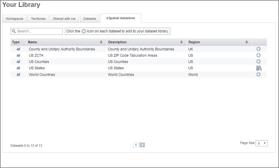
Overview of the eSpatial Datastore in the eSpatial Library.
Here you will find useful datasets provided by eSpatial. In general these will be boundary datasets. Boundary Datasets are created on existing Geographic boundaries such as Countries or States etc. The eSpatial datastore contains datasets from many countries across the world.