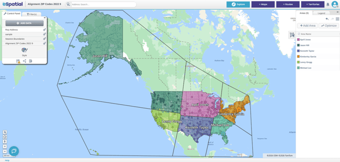
Territories can be created based on drive time, a set distance (radius), or nearest neighbor logic, from a location dataset that has been added to your map. This dataset must be added to the alignment before using the Drive Time Generation option.
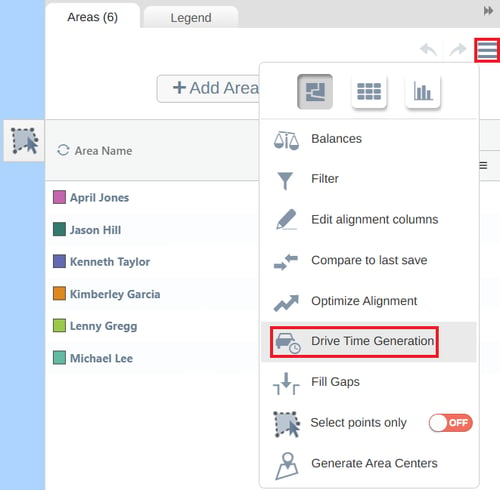
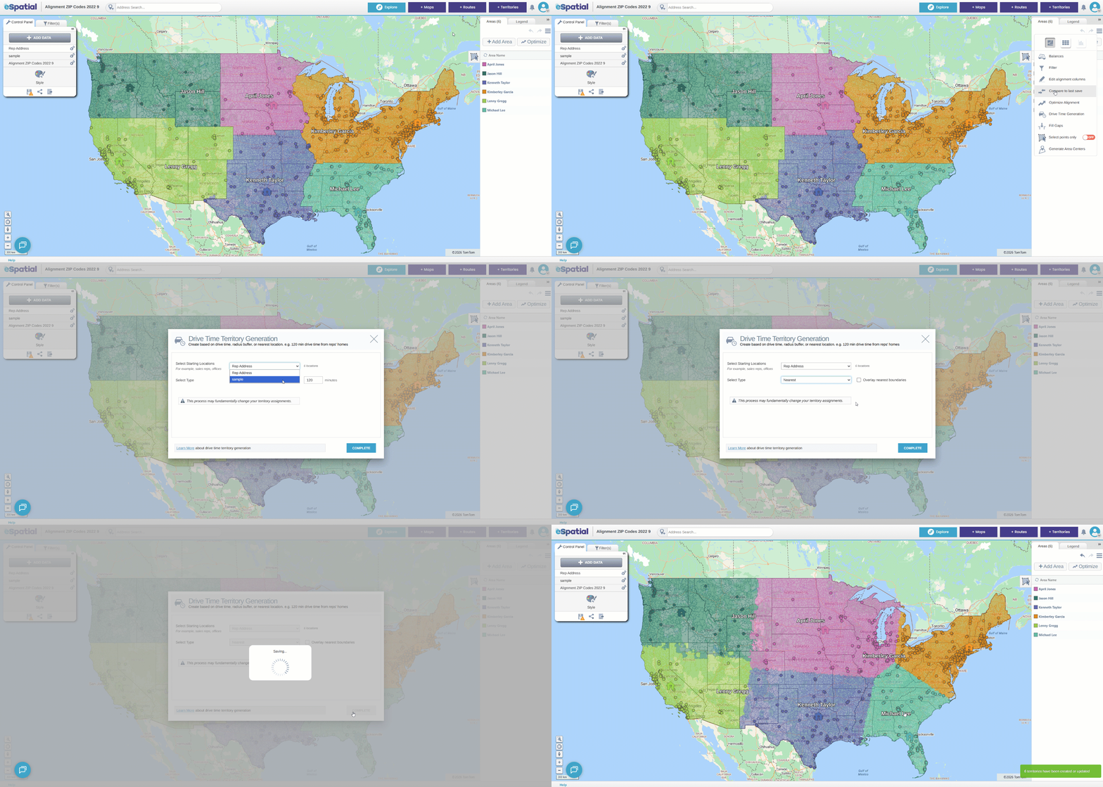
To access the Drive Time Generation settings, click on the Hamburger menu in the top right of the Areas Panel to and navigate to the Drive Time Generation option.
Once in the Drive Time Generation window, choose the dataset used for the starting location of your territories dropdown (offices, rep locations, home addresses etc.). This is the location the territories will be generated from.
Drive Time
- Select the Drive Time option in the Type dropdown, and set the time limit by typing a number into the box
- Once you have chosen your settings, click Complete to build your territories.
Radius
- Select the Radius option in the Type dropdown, set the distance by typing a number into the box, and choose the units from the dropdown.
- Once you have chosen your settings, click Complete to build your territories
Nearest
- Select the Nearest option in the Type dropdown, and choose whether to overlay the generated boundaries.
- Once you have chosen your settings, click Complete to build your territories
If the Overlay nearest boundaries option is selected, the territory boundaries will be displayed on the map, like in the example below.